Featured Article
How Forest Departments Handle Human-Wildlife Conflict
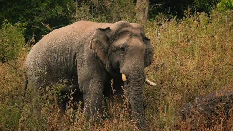
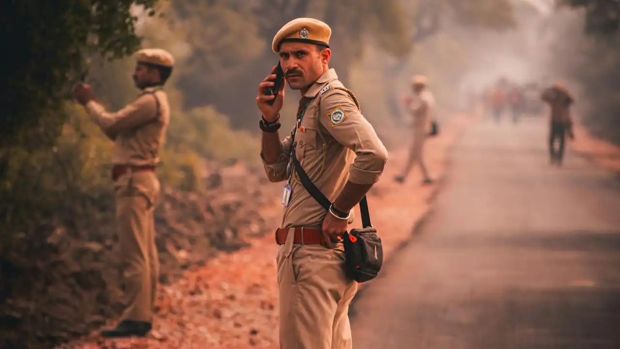
Karnataka Forest Department deploys rapid response teams, solar fencing, and community alert systems to manage increasing human-wildlife conflicts across 20 districts.

Karnataka Forest Department deploys rapid response teams, solar fencing, and community alert systems to manage increasing human-wildlife conflicts across 20 districts.

Karnataka's forest boundaries combine traditional pillars and trenches with GPS technology and satellite monitoring, creating multi-layered protection systems that involve forest departments, technology platforms, and local communities in preservation efforts.

Karnataka's forests fall under three legal categories—reserved, protected, and village—each with distinct rights, restrictions, and management systems affecting conservation, community access, and land use.
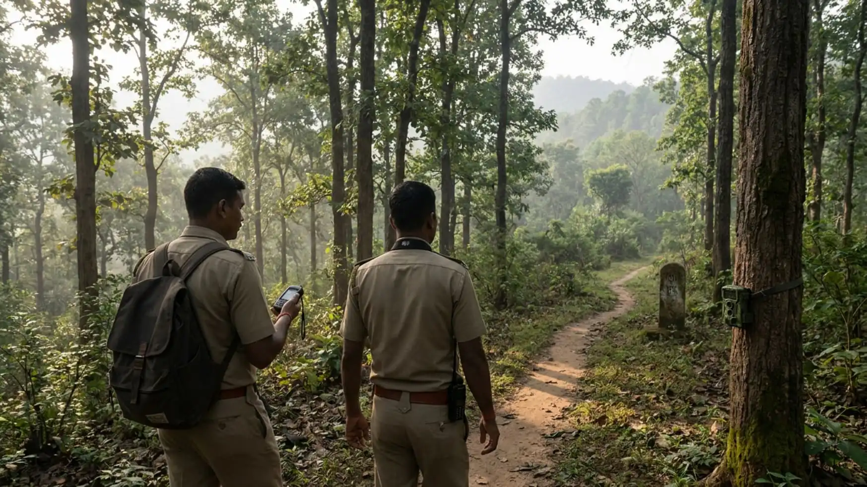
Forest patrolling in India combines hierarchical guard systems, GPS tracking, camera traps, and community intelligence networks to protect over 700,000 square kilometers of forest land against poaching, timber theft, and encroachment.
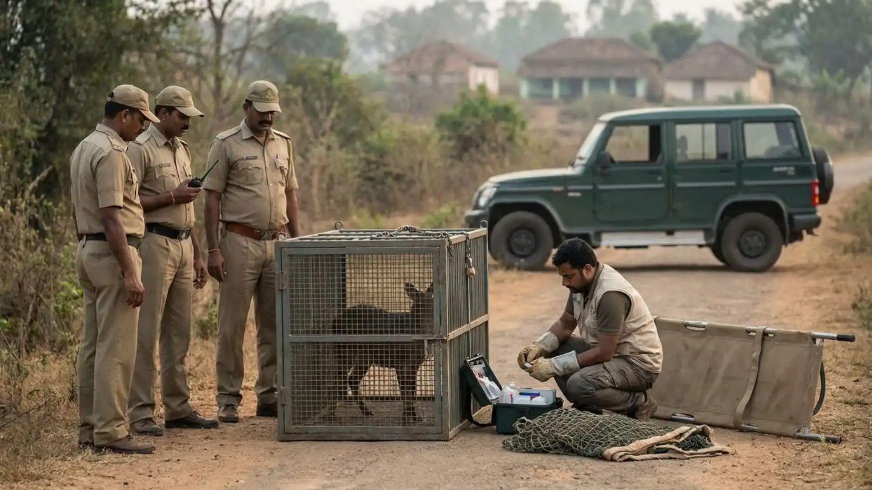
Karnataka forest officials manage wildlife rescues through rapid response teams, veterinary coordination, and community collaboration, handling hundreds of human-animal conflict incidents annually across the state.
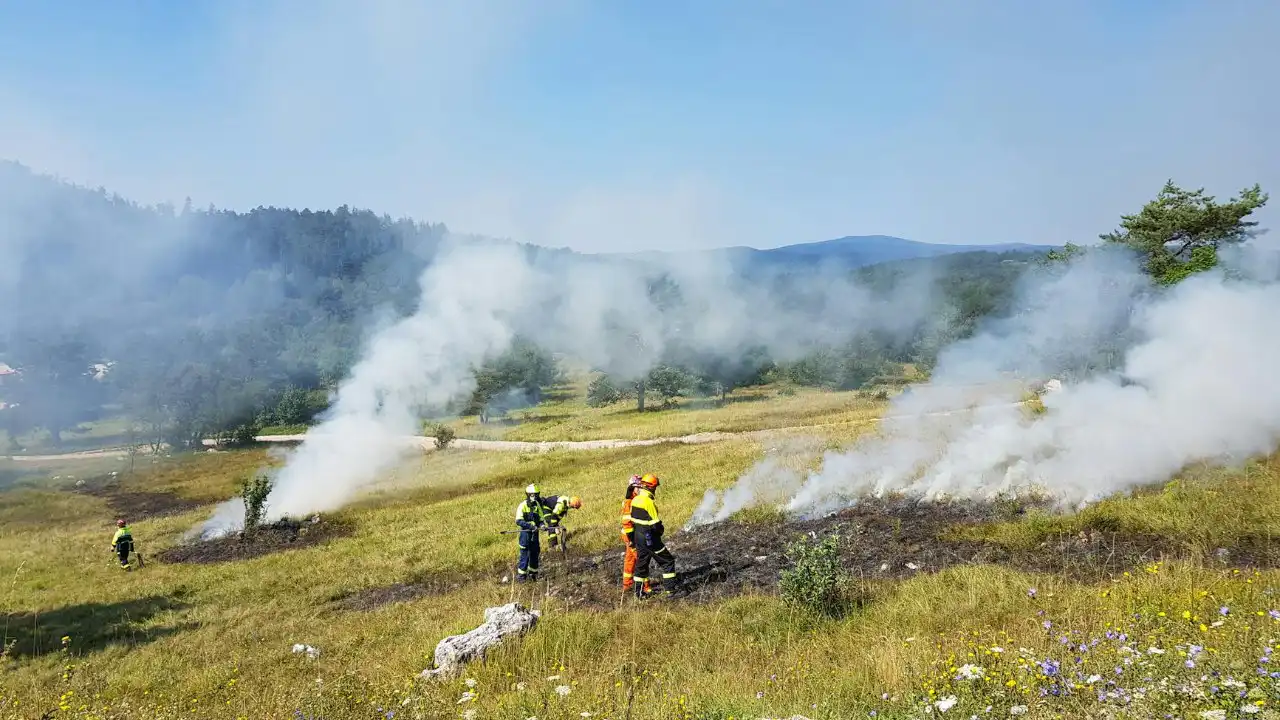
Karnataka Forest Department uses watchtowers, satellite monitoring, controlled burns, rapid response teams, and community networks to detect and suppress forest fires that threaten the state's biodiversity hotspots.
Forest officers in Karnataka combine traditional patrols, satellite monitoring, drone surveillance, and community intelligence networks to detect and prevent illegal tree cutting across the state's extensive forest cover.