Karnataka stands as one of India’s most ecologically diverse states, with river systems that sustain over 68 million people and forest cover spanning approximately 38,720 square kilometers. The state’s seven major river basins and protected forest regions form the backbone of its agricultural economy, biodiversity preservation, and climate stability. Understanding these natural assets becomes essential for residents, policymakers, and conservation professionals working to balance development with environmental sustainability.
Table of Contents
Major River Systems Shaping Karnataka’s Geography
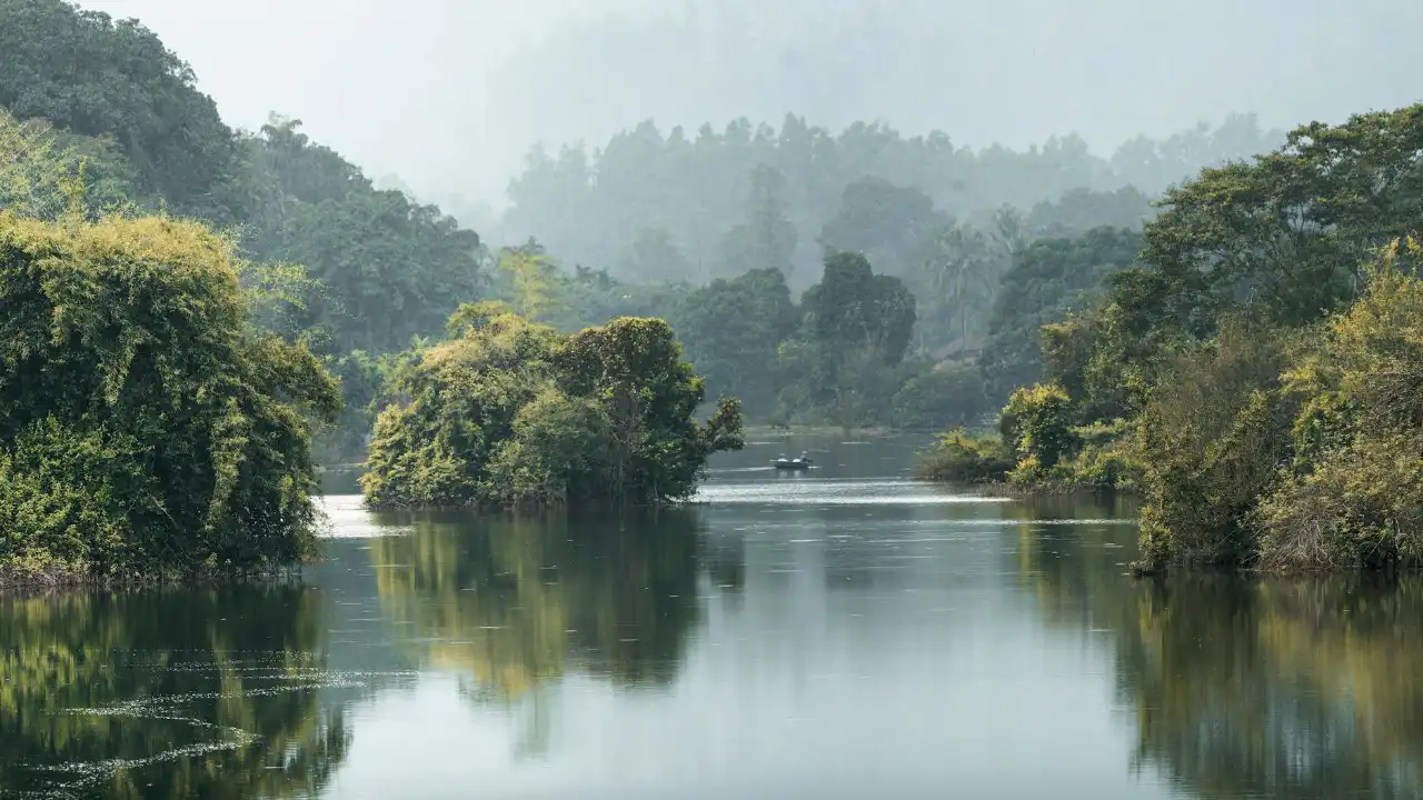
The Krishna River dominates Karnataka’s northern landscape, flowing 483 kilometers through the state and supporting irrigation across drought-prone districts like Belagavi, Vijayapura, and Kalaburagi. The river’s tributaries — Bhima, Ghataprabha, Malaprabha, and Tungabhadra — create an extensive network that feeds the agricultural heartland of north Karnataka.
Flowing eastward, the Cauvery River travels 320 kilometers through Karnataka before entering Tamil Nadu. This river remains central to the state’s water politics, supporting paddy cultivation in Mandya, Mysuru, and Chamarajanagar districts. The Cauvery Wildlife Sanctuary along its banks protects crucial riparian ecosystems that filter sediments and maintain water quality for millions downstream.
The westward-flowing Sharavathi River, though only 128 kilometers long, generates significant hydroelectric power through the Jog Falls system near Shivamogga. According to [CITE: Karnataka hydroelectric power generation capacity], the state produces over 4,500 megawatts from its river systems, with Sharavathi contributing a substantial portion. The river also supports the biodiversity-rich rainforests of the Western Ghats before emptying into the Arabian Sea.
| River System | Length in Karnataka | Primary Districts | Key Economic Function |
|---|---|---|---|
| Krishna | 483 km | Belagavi, Vijayapura, Bagalkot | Irrigation, sugarcane production |
| Cauvery | 320 km | Mandya, Mysuru, Chamarajanagar | Paddy cultivation, drinking water |
| Sharavathi | 128 km | Shivamogga, Uttara Kannada | Hydroelectric power generation |
| Netravathi | 103 km | Dakshina Kannada | Urban water supply, fisheries |
| Tungabhadra | 382 km | Ballari, Koppal, Raichur | Irrigation, mining belt water supply |
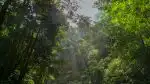
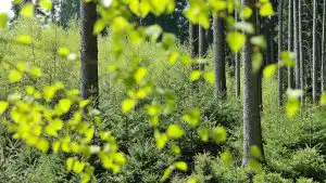
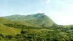
Western Ghats: Karnataka’s Biodiversity Fortress
The Western Ghats run 450 kilometers along Karnataka’s western edge, encompassing eight UNESCO World Heritage Sites within the state. This mountain range captures monsoon moisture, creating rainforests that house over 5,000 flowering plant species and 508 bird species. Districts like Kodagu, Hassan, Chikkamagaluru, and Dakshina Kannada derive their agricultural prosperity from the consistent rainfall patterns these forests regulate.

Kudremukh National Park in Chikkamagaluru district protects 600 square kilometers of montane grasslands and shola forests. The park serves as the source region for multiple rivers including Tunga, Bhadra, and Netravathi. Mining operations that once threatened this ecosystem ceased in 2005, allowing gradual ecological recovery that now supports populations of tigers, leopards, and the endangered lion-tailed macaque.
Pushpagiri Wildlife Sanctuary in Kodagu spans 102 square kilometers of pristine evergreen forest. This region maintains one of Karnataka’s highest rainfall records, exceeding 5,000 millimeters annually, which directly sustains the coffee plantations and spice estates that employ thousands of agricultural workers across the district.
Eastern Forest Regions and Wildlife Corridors
Bandipur National Park covers 874 square kilometers in Chamarajanagar district, forming part of the Nilgiri Biosphere Reserve alongside Tamil Nadu’s Mudumalai and Kerala’s Wayanad sanctuaries. This dry deciduous forest supports India’s largest wild elephant population, with approximately 2,000 individuals migrating seasonally through these connected reserves. The park’s protection directly impacts agricultural communities in surrounding areas, requiring ongoing human-wildlife conflict mitigation strategies.
Nagarahole National Park, officially known as Rajiv Gandhi National Park, protects 848 square kilometers of moist deciduous forest in Kodagu and Mysuru districts. With tiger density among the highest globally, the reserve demonstrates successful conservation outcomes from sustained anti-poaching efforts. According to [CITE: Karnataka tiger census population data], the state hosts over 520 tigers across its protected areas, representing roughly 17 percent of India’s total tiger population.
Bhadra Wildlife Sanctuary in Chikkamagaluru encompasses 490 square kilometers around the Bhadra Reservoir. The sanctuary’s diverse elevation gradients, ranging from 650 to 1,875 meters, create habitat mosaics supporting gaur, wild dogs, and over 250 bird species. The protected status of this catchment area ensures water security for downstream agricultural regions in Shimoga and Davangere districts.
Conservation Challenges and Employment Opportunities
The Karnataka Forest Department manages 31 wildlife sanctuaries and five national parks, creating employment for over 8,000 forest guards, range officers, and wildlife biologists. Job seekers with qualifications in environmental science, forestry, and wildlife management find opportunities in both government positions and NGOs working on habitat restoration, invasive species management, and community-based conservation programs.
Climate change impacts increasingly stress both river systems and forest ecosystems. Declining monsoon reliability affects river flow patterns, while rising temperatures shift species distributions in montane forests. Conservation activists focus advocacy efforts on protecting unclassified forest areas from conversion to plantations, strengthening enforcement against illegal logging, and promoting sustainable water use practices among agricultural and industrial sectors.
River conservation efforts concentrate on reducing industrial pollution in stretches flowing through manufacturing zones, particularly along the Tungabhadra near Ballari and sections of the Cauvery through Mandya. Grassroots organizations mobilize local communities to monitor water quality, document encroachments on riverbanks, and advocate for stricter enforcement of environmental regulations governing effluent discharge.
Integrating Economic Development with Ecological Preservation
Karnataka’s economic growth trajectory depends fundamentally on maintaining healthy river systems and forest cover. The tech corridors of Bengaluru rely entirely on water pumped from the Cauvery basin, while agricultural exports from the Krishna basin generate billions in annual revenue. Forest ecosystems regulate these water sources through watershed protection, making conservation not merely environmental but economically strategic.
The state government’s initiatives include promoting agroforestry in buffer zones around protected areas, providing compensation for crop damage from wildlife, and developing eco-tourism infrastructure that channels revenue back into conservation programs. These approaches create sustainable livelihoods for communities living adjacent to forests while reducing pressure on core wildlife habitats. For residents and professionals alike, engaging with Karnataka’s natural resource management represents both an opportunity and a responsibility in shaping the state’s sustainable future.